1920s "School Maps" from the Griswold Library
The Griswold Library has asked CHS if we would be interested in having 7 old "roller maps" from their collections. These maps are large, about 3' x 4', and are affixed to rollers mounted onto a board for hanging on a wall.
Below: the seven roller maps


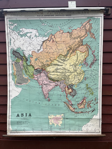
These maps are not of Colrain. They are maps of the continents such as Asia, North America etc, and include one unusual "blackboard" map of Massachusetts. They are supposed to have been used in Colrain's Churchill School.

They are not dated, except for the North America (1923 printing). An earlier date is suggested by the World map which refers to the publisher as "Geographer to the Queen" . Queen
Victoria died in 1901. That notation is not dispositive, but it does
suggest that more research could be done as to the publication dates of
these maps. The seller of several of the maps, Edward Babb & Co.,
was a major school supply company in the early 1900s. (see label below)
The AJ Nystrom Company (distributor/ publisher of Asia, Africa etc - see image below) started selling this brand of map in 1903.
I am guessing, based on the 1923 map, that these maps might have arrived in Colrain in the 1920s, though some could be older.
The AJ Nystrom Company (distributor/ publisher of Asia, Africa etc - see image below) started selling this brand of map in 1903.
I am guessing, based on the 1923 map, that these maps might have arrived in Colrain in the 1920s, though some could be older.


=============================================================
Below are a few closeups from the Asia map.

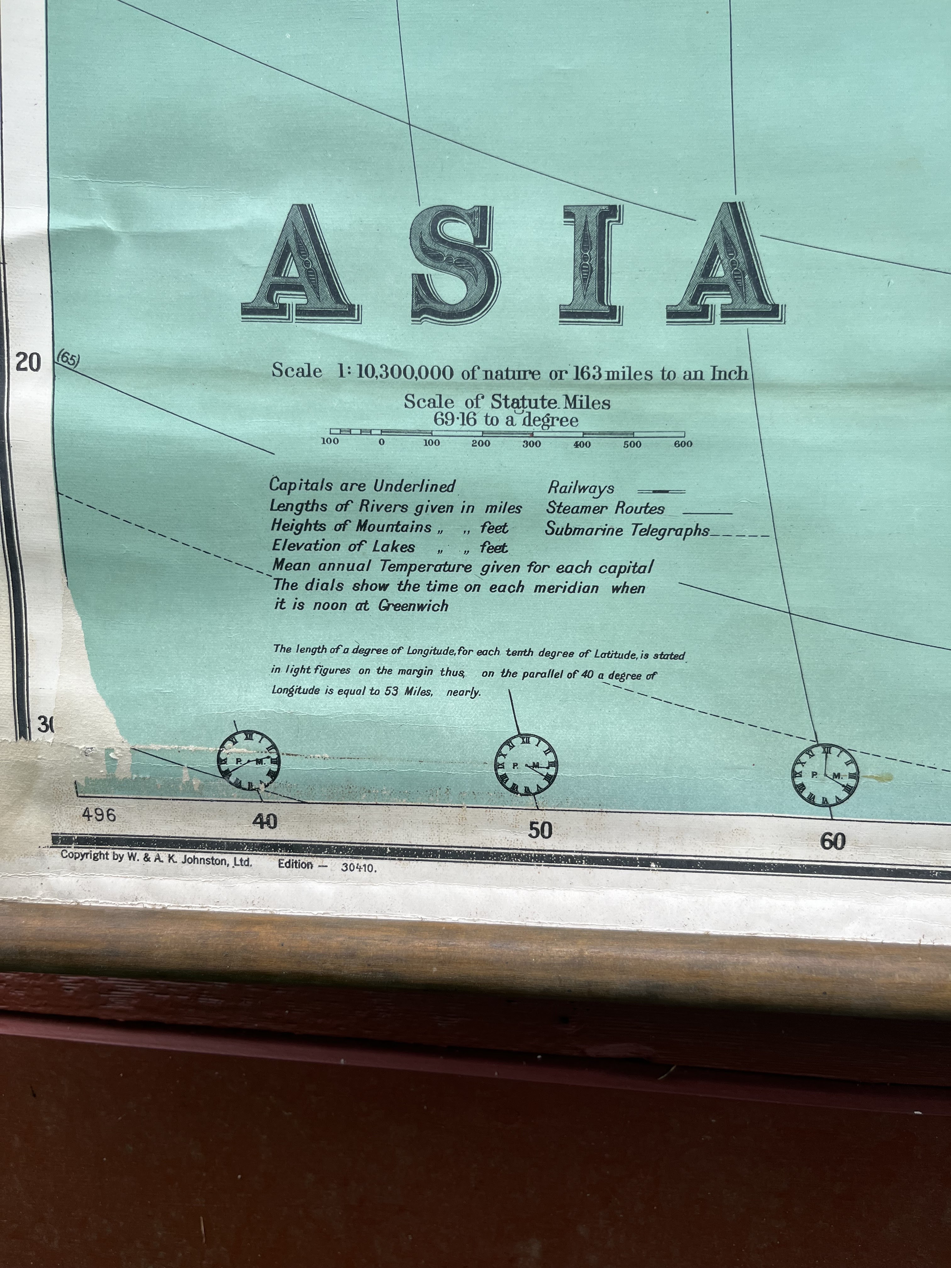
The Johnson Company of England held the copyright.

The Edward Babb Company seems to have been the seller of several of the maps, per this label above.

A.J Nystrom was the US "agent" (distributor) for this "Johnson" map


Comments
Post a Comment